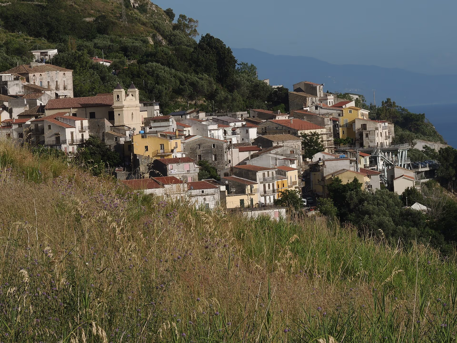
Upper Tyrrhenian Cosentino · Riviera dei Cedri
Acquappesa
The town of the “hanging water”: six kilometres of coast between the Fiumicello and the Bagni river, a village its people call U Casàle, the woods of Monte Pistuolo and the Terme Luigiane, with sulphurous springs known since antiquity and five Giro d’Italia stage finishes.
Acquappesa (U Casàle in Calabrian) is a town of about 1,700 inhabitants in the province of Cosenza, on the southern stretch of the Upper Tyrrhenian Cosentino coast, between Cetraro and Guardia Piemontese. Its name tells the landscape: “hanging water”, after a waterfall in the area. The territory, small but steep, climbs from six kilometres of coast up to the almost thousand metres of Monte Pistuolo, and is home to the hamlet of Terme Luigiane, where the sulphurous springs known since antiquity rise; they have become the town’s symbol, to the point of appearing on its coat of arms.
Geography
The municipality covers 17.75 km², 7 of them wooded, and also includes an administrative exclave detached from the rest of the territory, called Pistuolo e Spaliota. On the coast, about 6 km long and washed by the Tyrrhenian, the boundary runs along the Fiumicello stream to the north and the Bagni river to the south; the neighbouring towns are Cetraro, Guardia Piemontese, Fagnano Castello and Mongrassano. Behind the shore the ground rises quickly: the main heights are Quercia Rotonda (302 m), the Rupe del Diavolo (301 m), the Balze della Mortilla (364 m), Cozzo del Greco (626 m), Cozzo Moleo (675 m) and Monte Pistuolo (972 m). The waters run down to the sea through the Bagni river and the Acqua fetida, Fiumicello, Morgione and Sorbo streams. The settlements are the village, known as U Casàle, Castagnola, Intavolata, the Marina and Terme Luigiane.
History
Acquappesa’s recent history is intertwined with that of neighbouring Guardia Piemontese and of the spa the two communities share. In 1927 the two towns were merged into a single municipality, Guardia Piemontese Terme, whose name referred precisely to the Terme Luigiane; in 1945 the unified municipality was abolished and Acquappesa regained its autonomy. Even today the ownership of the springs is divided: seven twelfths belong to Acquappesa and five twelfths to Guardia Piemontese. The waters owe their name to Prince Luigi, Count of Aquila, who in the 19th century was their first patron. Shortly before the end of that century the railway arrived: Acquappesa station opened on 31 July 1895, with the section of the Tyrrhenian line from Praia d’Ajeta to Sant’Eufemia Marina, and was later downgraded to a halt. On 9 April 1955 the town received its coat of arms and banner by decree of the President of the Republic.
What to see
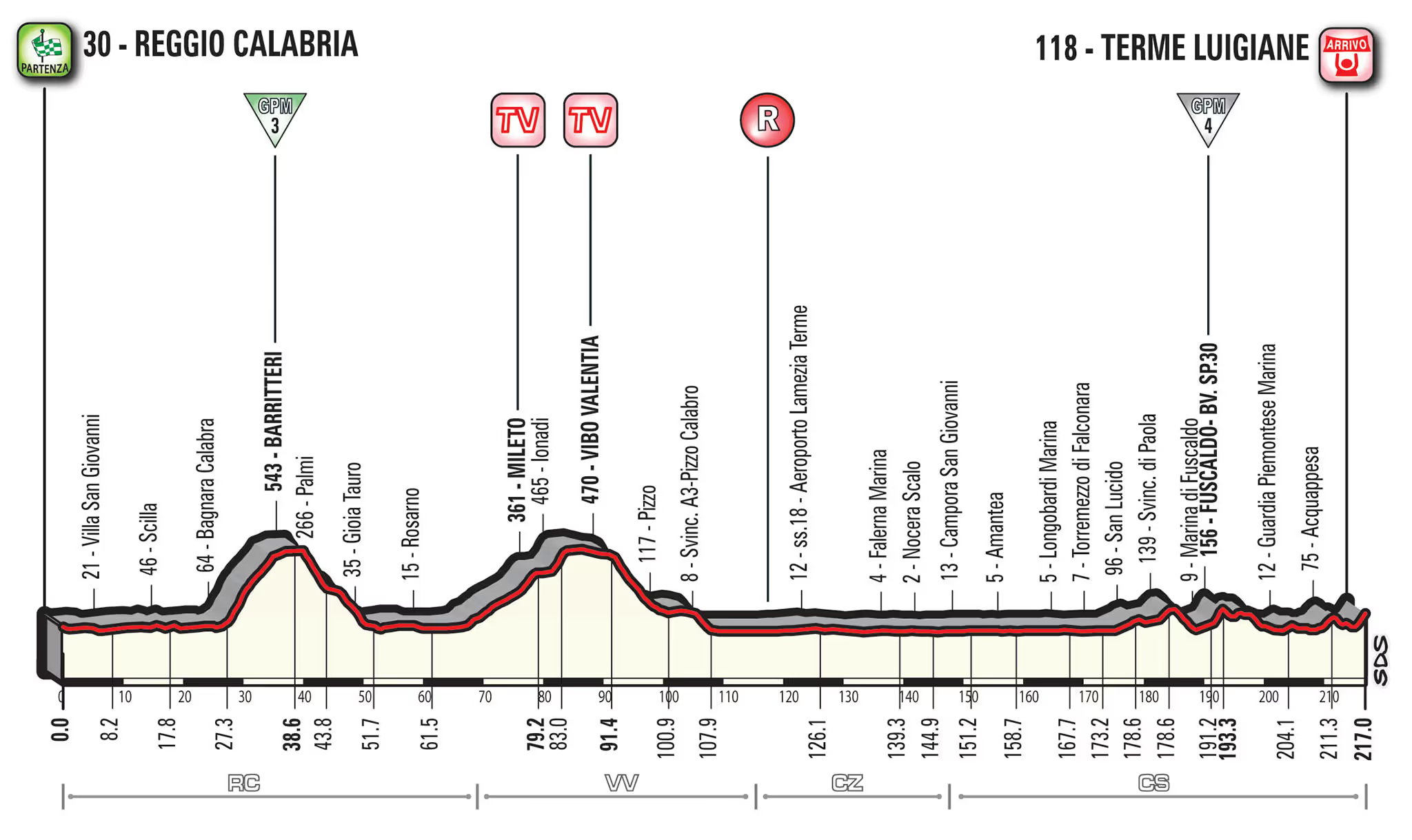
The heart of Acquappesa is the Terme Luigiane, a hamlet and thermal park fed by sulphurous waters known since antiquity and noted for treating skin conditions. A legend has also grown up around the springs: it is said that a queen who could not have children came here and that the waters made her fertile. The spa is also a place of sport: the Giro d’Italia has finished five stages here. Heading inland you reach the village of U Casàle, while the heights up to Monte Pistuolo and the woods, about two fifths of the territory, show the town’s mountain face behind the sea.
The Giro d’Italia at the Terme Luigiane
The Terme Luigiane have several times been a Giro d’Italia stage finish. The first finish was in 1993, with the fifth stage won by Dmitry Konyshev; then came 1995, the seventh stage won by Maurizio Fondriest, 1999, the fourth stage won by Laurent Jalabert, and 2003, the third stage won by Stefano Garzelli. The latest finish dates from 2017, when the sixth stage was won by Silvan Dillier.
Coat of arms and patron saint
Acquappesa’s coat of arms, granted in 1955, is blue with a silver two-basin fountain, spouting silver; the banner is a blue cloth. The fountain recalls the thermal spring of the Terme Luigiane, known since antiquity, and so ties the town’s identity to its waters, the same that give the village its name. The patron saint is Santa Maria del Rifugio, celebrated on 2 July. The inhabitants are called acquappesani.
Getting there
Acquappesa is crossed by the SS18 Tirrena Inferiore state road and served by Acquappesa station, a halt on the Tyrrhenian line with regional trains. By car from the A2 “del Mediterraneo” motorway: from the north, exit Rende/Cosenza nord and the SS107 to Paola, then the SS18 northwards; from the south, exit Falerna and the SS18 northwards. The nearest airport is Lamezia Terme.
Places
What to see around here.
- Nature
Monte Pistuolo and the heights of Acquappesa
From the sea to 972 metres in a few kilometres: Monte Pistuolo, the administrative exclave of Pistuolo e Spaliota, Cozzo Moleo, Cozzo del Greco, the Rupe del Diavolo and 7 km² of woodland.
-
 Nature
 Terme Luigiane
Acquappesa’s spa hamlet: sulphurous springs known since antiquity, named after Prince Luigi, Count of Aquila, shared with Guardia Piemontese and five times a Giro d’Italia finish.
Nearby towns
Keep exploring the Upper Tyrrhenian Cosentino coast from here.
-
Cetraro
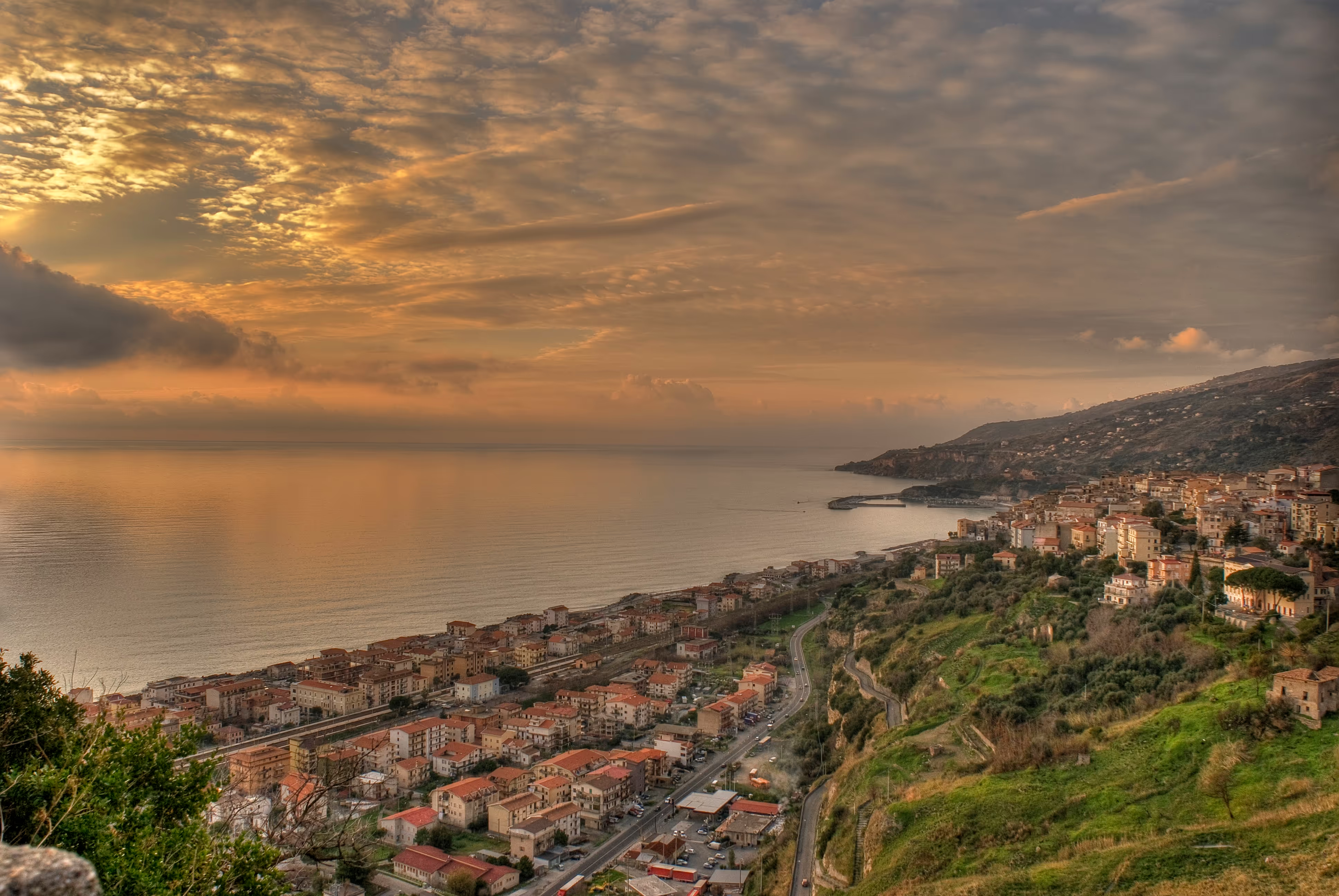
The abbot’s town: from 1086 to 1810 Cetraro was a fief of the Benedictines of Montecassino, remembered in the church of San Benedetto with its Baroque organ, the three gates of the old town and the sea procession of 11 July. Below, the Marina, Borgo San Marco and the marina.
-
Guardia Piemontese
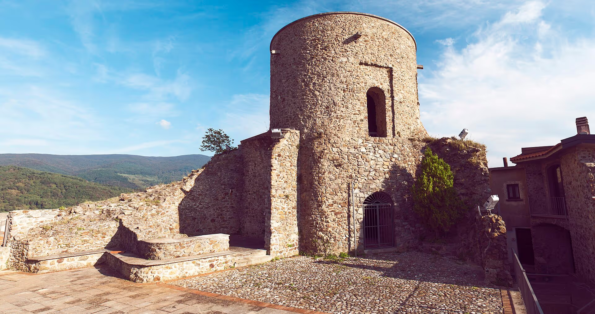
The Occitan island of the South: the village 515 metres above the Tyrrhenian founded by Waldensians from the Piedmont valleys, where Guardiolo is still spoken and where the Porta del Sangue, the peephole doors and the Val Pellice rock recall the night of 5 June 1561.
-
Fuscaldo
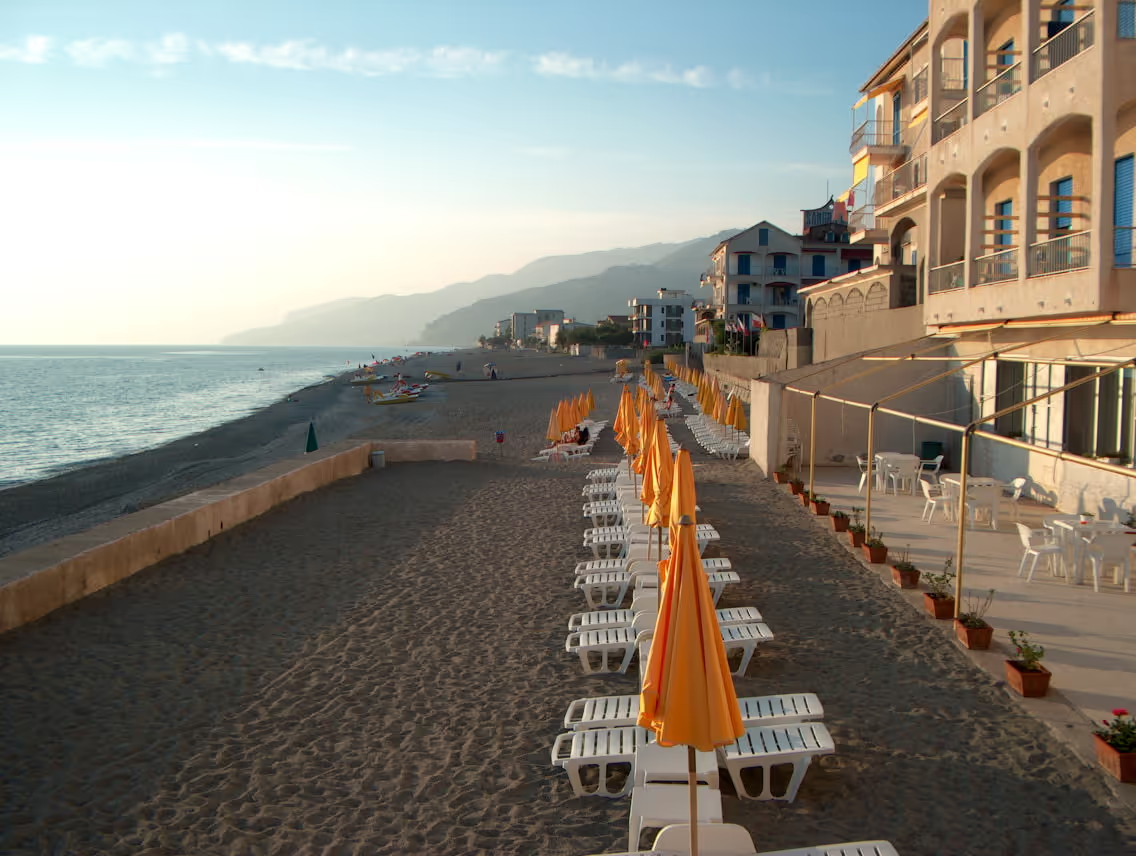
The town of stonemasons and Spinelli marquises: a village 350 metres up on the slopes of the Coastal Range, with the mother church consecrated in 1166, the twelve-column bell tower of the Immacolata and a fief that for three centuries also ruled Paola and Guardia. Below, the Marina on the Tyrrhenian.
-
Bonifati
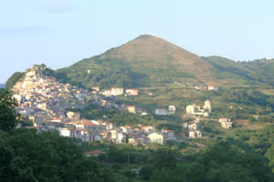
Two souls on the same coast: the village 425 metres up on the Coastal Range, with the ruins of Castel Bonifati, five churches rich in art and its historic palazzi, and Cittadella del Capo by the sea, ancient Fella, with the Capo and Fella towers from the 12th to the 16th century.
-
Paola
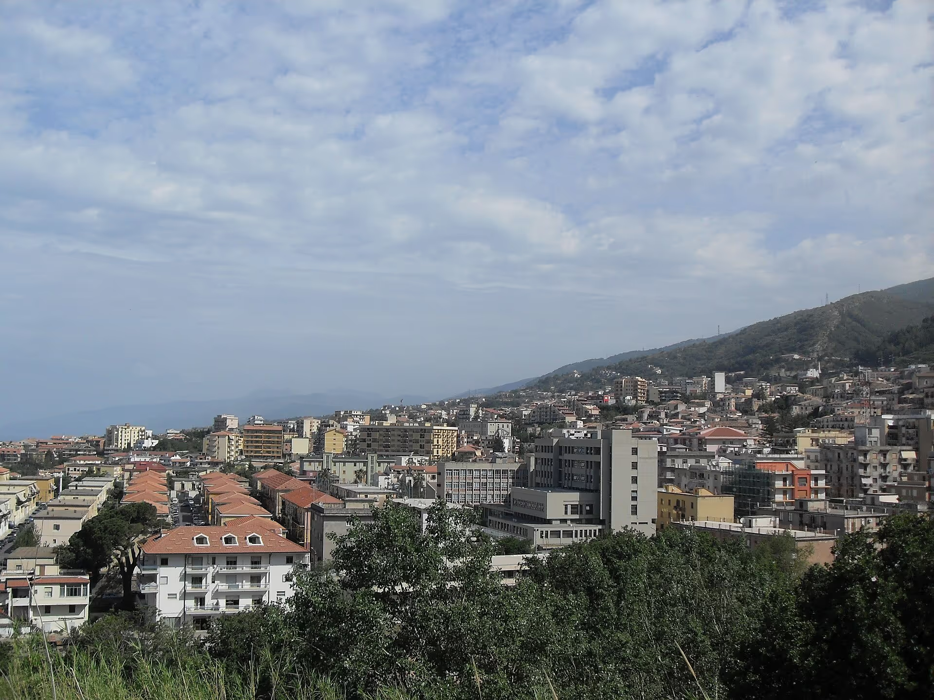
The town of Saint Francis, patron of Calabria: the sanctuary in the Isca valley, the underground church of Sotterra with its Byzantine frescoes, the Seven Channels fountain and the Rocchetta quarter, at the southern end of the Upper Tyrrhenian Cosentino coast.
Itineraries through here
- 2 daysWellness & spa
Wellness & spa
Two days among thermal waters, marina and towns of the Middle Tyrrhenian Cosentino area.
4 stops4 townsAll year roundSee the stops -
 3 daysWellness & spa
Nature and Pollino in three days
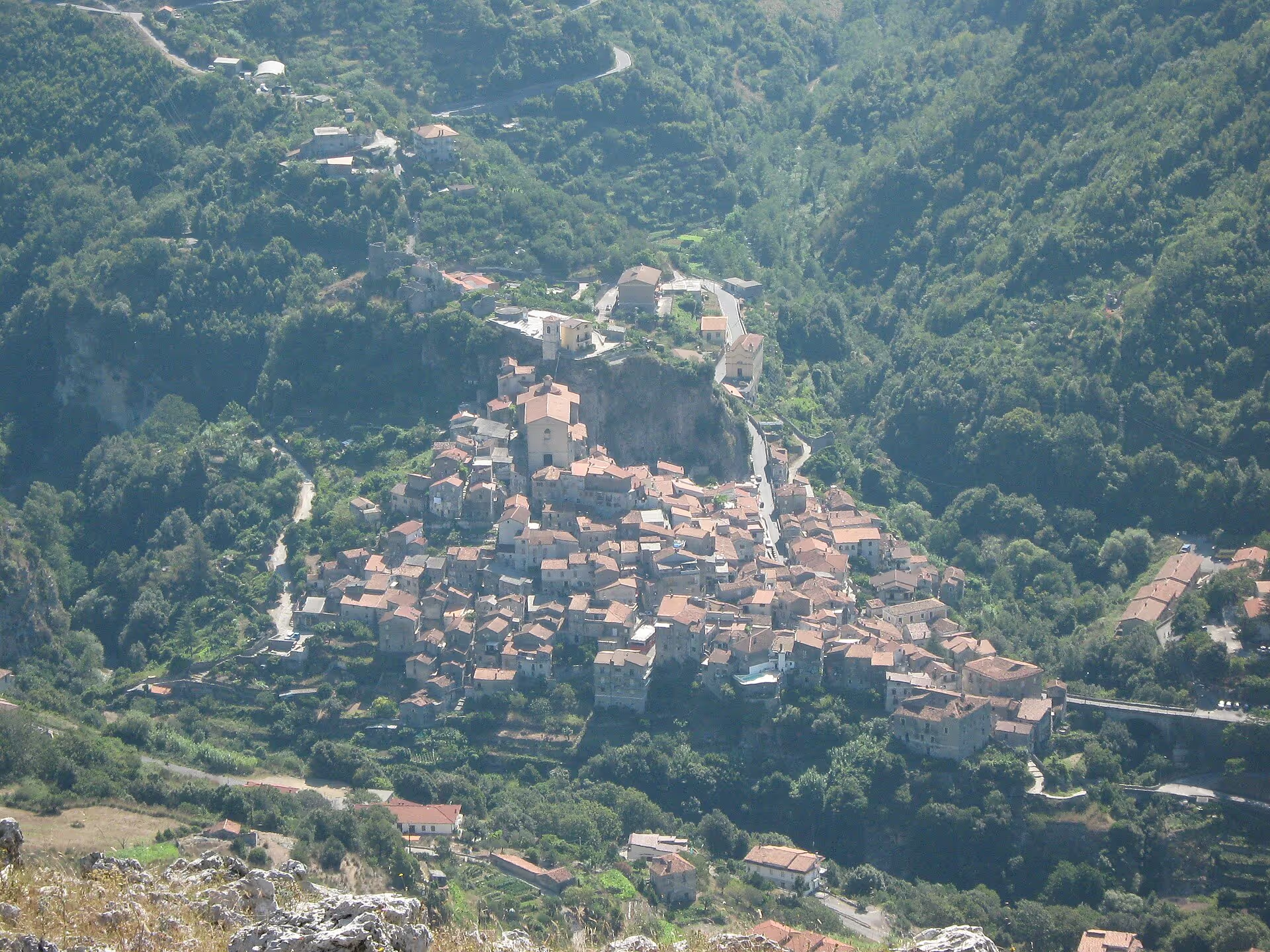
Three days among spa, Palaeolithic cave and mountains of the Pollino National Park.
6 stops4 townsMarch–NovemberSee the stops -
 4 daysWellness & spa
Nature and Pollino in four days
Four days among spa, cave, mountains and river in the Pollino National Park.
8 stops5 townsMarch–NovemberSee the stops
Where to stay
- Bed & Breakfast LuigianeGuest house · Acquappesa
- HOTEL REAL ASTURIASHotel · Acquappesa
- Il rifugio sul mareGuest house · Acquappesa
Indicative information from OpenStreetMap. Check availability and reviews on the external platforms.
Where to eat
- AcquadimareRestaurant · Acquappesa
- il CaiccoRestaurant · Acquappesa
- La RoandaRestaurant · Acquappesa
- Lo ScoglioBar · Acquappesa
- Lo ScoglioIce cream · Acquappesa
- Pit StopRestaurant · Acquappesa
- Por do SolRestaurant · Acquappesa
- Zio EnzoRestaurant · Acquappesa
Indicative information from OpenStreetMap. Check availability and reviews on the external platforms.
Beaches and beach clubs
- Por do SolBeach club · Acquappesa
- SaraBeach club · Acquappesa
- TermareBeach club · Acquappesa
Indicative information from OpenStreetMap. Check availability and reviews on the external platforms.
Do you run a local business?
Update the listing or discover how to give your business more visibility.
Join the guide for freeHow to get to Acquappesa
- Reference railway station
- Acquappesa
- about 1 km as the crow flies from the centre
- Train times (Trenitalia) ↗ Guide: by train
- Nearest airport
- Lamezia Terme International Airport (SUF)
- about 70 km as the crow flies from the centre
- Airport website ↗ Guide: by plane
- By car: A2 “del Mediterraneo” motorway
-
From the north · A2 Rende / Cosenza north SS107 Silana-Crotonese → SS18 north along the coast
From the south · A2 Falerna SS18 Tyrrhenian coastal road heading north along the coast
- Driving directions (Google Maps) ↗ Guide: by car
Straight-line distances computed from verified coordinates: the road route is longer. Check times and connections on the operators’ websites.
Frequently asked questions
- The name means “hanging water” and refers to a waterfall in the area; in Calabrian the town is called U Casàle.
- A hamlet of Acquappesa with a thermal park fed by sulphurous waters known since antiquity; they are named after Prince Luigi, Count of Aquila, their first patron in the 19th century.
- The hamlet is part of Acquappesa; ownership of the springs is split between Acquappesa, seven twelfths, and Guardia Piemontese, five twelfths. From 1927 to 1945 the two towns were merged as Guardia Piemontese Terme.
- Yes, five times: in 1993, 1995, 1999, 2003 and 2017, with wins by Konyshev, Fondriest, Jalabert, Garzelli and Dillier.
- Monte Pistuolo, 972 metres; the municipality also includes the administrative exclave of Pistuolo e Spaliota and 7 km² of woodland.
- By train to Acquappesa station on the Tyrrhenian line, or by car along the SS18; from the A2 take the Rende/Cosenza nord or Falerna exit.
- The reference station is Acquappesa, on the Tyrrhenian railway line, about 1 km as the crow flies from the centre of Acquappesa. Times and connections on the Trenitalia website.
- The nearest airport is Lamezia Terme International Airport (SUF), about 70 km as the crow flies; from there you continue by train from Lamezia Terme Centrale along the Tyrrhenian line, or by car on the A2 motorway.
Why is it called Acquappesa?
What are the Terme Luigiane?
Do the Terme Luigiane belong to Acquappesa or Guardia Piemontese?
Has the Giro d’Italia finished at the Terme Luigiane?
What is the highest peak in Acquappesa?
How do you get to Acquappesa?
Which is the nearest railway station to Acquappesa?
Which is the nearest airport to Acquappesa?
Discover locally
Live, up-to-date results with real reviews, on external platforms. We don’t hand-pick individual businesses we can’t verify.