Upper Tyrrhenian Cosentino · Riviera dei Cedri
Tortora
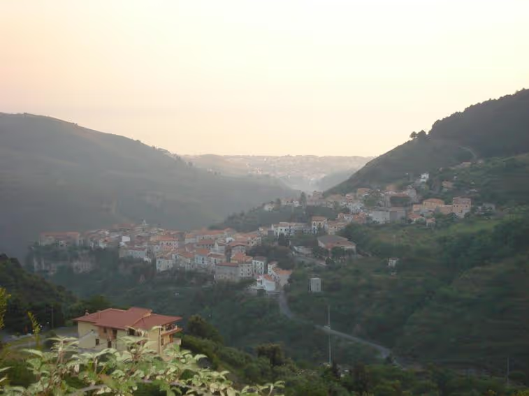
The northern gateway of Tyrrhenian Calabria: the village born of refugees from Blanda, the Oenotrian, Lucanian and Roman city on the Palècastro hill, the Palaeolithic site of Rosaneto, the Pollino mountains and the Marina on the Gulf of Policastro.
Tortora is a town of about 5,900 inhabitants in the province of Cosenza and the northernmost municipality of the whole Calabrian Tyrrhenian coast: beyond the Noce river Basilicata begins. It is the gateway to the Upper Tyrrhenian Cosentino coast for those arriving from the north, and its history is the longest on the coast: a hunters’ camp of 150,000 years ago at Rosaneto, the city of Blanda that the Lucanians fortified and the Romans called Blanda Julia, and a medieval village that refugees from that city founded on a rocky spur under the name Julitta. The present name comes from the Latin turtur, the turtle dove that filled the woods and today stands on the coat of arms.
Geography
The territory, limestone and rich in water, is largely mountainous and for the most part lies within the Pollino National Park: its highest peaks are Monte Serramale (1,274 m), Monte Rossino (1,238 m) and the Cucuzzata (1,088 m). To the north the Noce river, some fifty kilometres long, separates Tortora from Basilicata (Maratea, Trecchina and Lauria); to the east it borders Laino Borgo, to the south Aieta and Praia a Mare. The Fiumarella di Tortora runs down to the sea and the coastal cliffs hold the caves of Torre Nave and Camerelle. The municipality lives in three distinct settings: the hilltop old town, with about 600 inhabitants, the equally populated mountain hamlets, and Tortora Marina, a plain on the Gulf of Policastro where the great majority of the people live and where the town hall has stood since the 1980s. The climate changes with altitude: mild all year in the old town, with cool, breezy summers, harsh winters in the mountains and mild ones at the Marina.
History
Few places in Italy can claim so ancient a human presence. At Rosaneto, by the Marina, an open-air Lower Palaeolithic site dated to about 150,000 years ago has yielded a thousand stone tools, including 140 choppers and 67 handaxes: it is one of the oldest prehistoric sites in Italy. At the foot of the Torre Nave cliff the lower layers of the dig gave tools of Neanderthal man, the upper ones the tools of Homo sapiens; in the Fiumarella cave incised pottery from the Copper Age to the Middle Bronze Age has surfaced.
Written history begins with Blanda. Around the mid-6th century BC the Oenotrians, perhaps from the Vallo di Diano, settled on the Palècastro hill: 38 tombs with grave goods and a stele have confirmed their presence. In the 4th century BC the Lucanians rebuilt and fortified the settlement with a wall and made it the coastal reference of the villages of the Noce valley; their rule reached the Lao river. In 214 BC, Livy tells, the consul Quintus Fabius Maximus took Blanda for siding with Hannibal. After a century of hard times the city was reborn as a Roman administrative centre: rebuilt after an earthquake around 70 BC with a forum, a basilica and three temples of the Capitoline Triad, governed by two duumvirs, in the Augustan age it became a municipium and took the name Blanda Julia. Small (barely five hectares) but important, it governed a wide territory with its shoreline. Destroyed in the 5th century, perhaps by the Vandals, the community moved along the Fiumarella valley and became a bishop’s see: the early Christian church of San Brancato, with a central plan and three apses, dates from the 6th–7th century, and its bishops Romanus, Paschal and Gaudiosus signed the Roman synods of 601, 649 and 743. The Saracen raids of the 9th century finally drove the inhabitants to take refuge on an inland spur, around the Castello delle Tortore: Julitta, the future Tortora, was born.
Between the 8th and 10th centuries Basilian monks fleeing iconoclasm and the Arab conquest scattered chapels and hermits’ lauras over the territory, which still live on in place names: San Sago, San Brancato, Santi Quaranta, San Leo. The name Turtura first appears in the bull of 1079 with which the archbishop of Salerno consecrated the bishop of Policastro. The fief passed from the Cifone (until 1284) to the Lauria of Admiral Roger (1284–1496), then to the De Montibus, Martirano, Ossonia, Exarques, Ravaschieri and finally the Vitale (1707–1821). In the 16th and 17th centuries silkworms were raised and sugar cane grown at the Marina; the rice paddies, drained only in 1866, however fed recurring epidemics. On 13 December 1806 the French troops of Joseph Bonaparte, who had ravaged Lagonegro and Lauria, entered Tortora without meeting resistance and spared it. On 3 September 1860 Garibaldi stopped here with generals Bertani, Bixio, Cosenz and Medici, a guest of the Lo Monaco Melazzi family. In 1928 the municipality was suppressed and merged with Aieta into the new municipality of Praia a Mare; it regained autonomy on 18 July 1937.
What to see
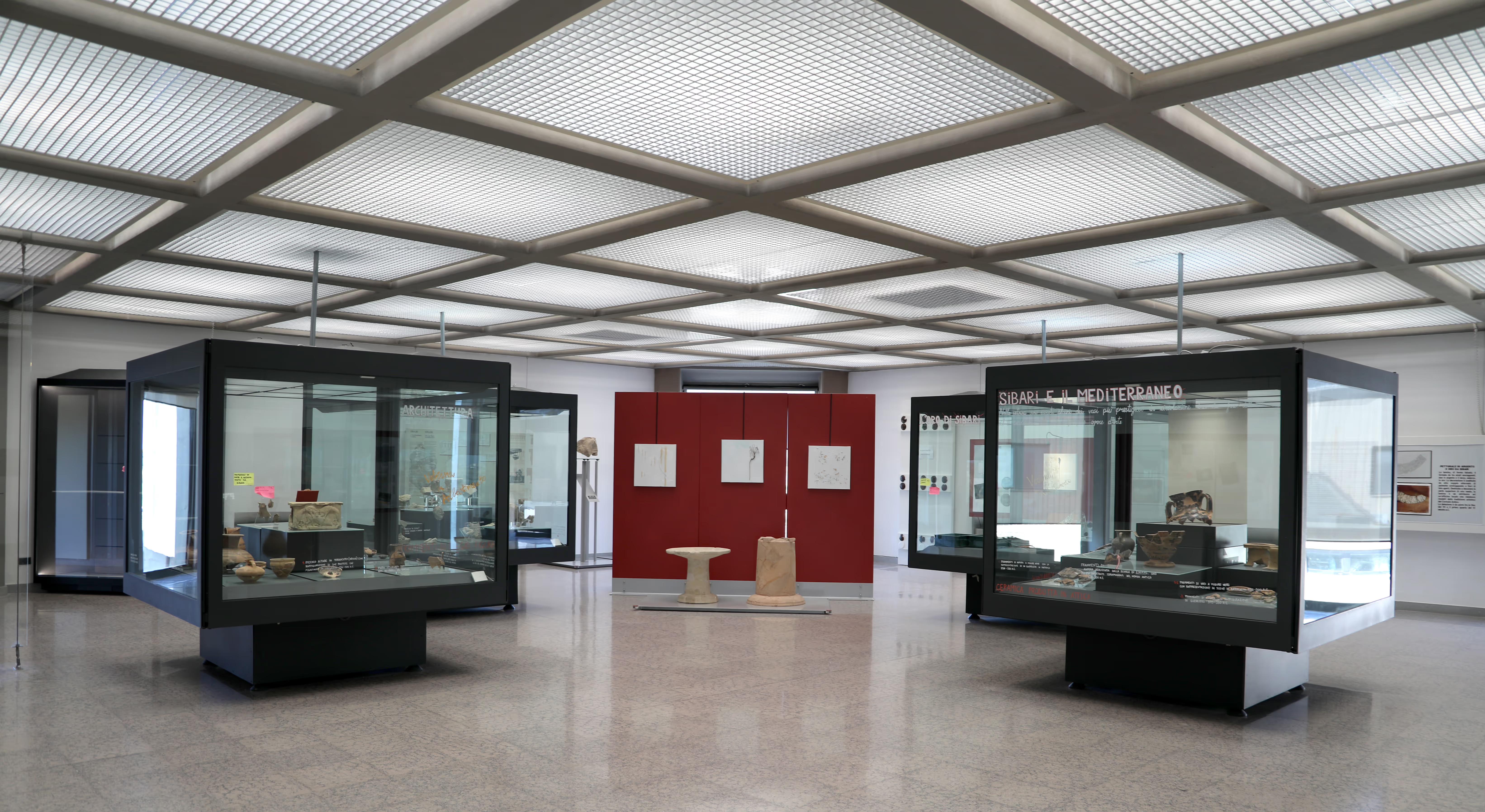
The Museum of Blanda, in the old town, is the starting point. Born from the permanent exhibition “Archeologia per Tortora: frammenti dal passato” set up in the Casapesenna palace and opened in 2014, it tells with finds and multimedia displays the ancient settlement of the territory south of the Noce: the Italic pottery and Magna Graecia imports of the more than 120 Oenotrian and Lucanian tombs of the San Brancato necropolis, the material from the forum and Roman temples of the Palècastro. On the Palècastro hill itself and at San Brancato, the excavations by Gioacchino Francesco La Torre for the Superintendency have uncovered the Lucanian wall, the orthogonal streets, the insulae, the three small temples, the plinth with the inscription to the duumvir Marcus Arrius Clymenus and, at the foot of the hill, the base of a monumental mausoleum.
The old town is the village of Julitta: narrow alleys on a rocky spur, old palaces adorned with stone portals, the mother church of San Pietro Apostolo in piazza Plebiscito, the church of the Annunziata in piazza Monastero, the church of the Souls in Purgatory and the Materdomini chapel. The municipal library, opened in 2008, is also in the upper town. The dialect spoken here has absorbed, over a thousand years of comings and goings, Arabic, Greek, French, Gothic, Lombard and Spanish words.
At the Marina, on the plain of the Gulf of Policastro, are the beaches and the churches of Santo Stefano, the Madonna delle Grazie and Stella Maris; behind it the Palaeolithic site of Rosaneto and the Torre Nave cliff. In the mountains, the hamlets of Acqualisparti, Pizinno and Massacornuta keep small country churches and chapels and open onto the trails of the Pollino.
Three towns in one
To understand Tortora is to accept that it is three places at once. The hilltop village, where everything began and where the museum, the churches and the portals remain; the mountain hamlets, scattered through the Pollino woods at heights where it snows in winter; and the Marina, which grew exponentially from the late 1970s by merging ten districts (Benefici, Crisosa, Cutura, Girone, Impresa, Falconara, Pantani, Pergolo, Poiarelli and Riviera) into a single settlement of about 4,900 people, seat of the town hall since the mid-1980s. Among the coastal districts, San Brancato also hosts the municipal stadium, while Castiglione, Rosaneto, Santo Stefano and Sicilione complete the shoreline. In a few kilometres you pass from the beach of the Gulf of Policastro to the 1,274 metres of the Serramale.
Getting there
Tortora lies on the SS18 Tirrena Inferiore state road and is served by Praja-Ajeta-Tortora station, on the Tyrrhenian line, located in Praia a Mare about 2 km from Tortora Marina. By car it is the first Calabrian town you meet coming down from the A2 “del Mediterraneo” motorway: exit Lagonegro nord, then the SS585 Fondo Valle del Noce to the coast; from the south, exit Falerna and SS18 northwards. The nearest airport is Lamezia Terme; for those coming from Naples, the SS18 and the railway skirt the Gulf of Policastro.
Places
What to see around here.
- Culture
Blanda: the Palècastro and San Brancato
The hill where the Oenotrian, Lucanian and Roman city of Blanda Julia rose, with its walls, forum, three small temples and the San Brancato necropolis: the site identified in 1891 and excavated from 1990.
- Old town
Old town of Tortora
The village of Julitta on its rocky spur: the stone portals of the palaces, the mother church of San Pietro Apostolo, the Annunziata and the memory of the Basilian monks and of Garibaldi.
-
 Culture
 Museum of Blanda
The old-town museum that tells of ancient settlement south of the Noce: the Oenotrian and Lucanian grave goods of San Brancato and the finds from Roman Blanda on the Palècastro.
- Beach
Tortora Marina and the Gulf of Policastro
The plain on the Gulf of Policastro where most of Tortora’s people live: beaches, ten districts joined in one settlement, the Palaeolithic site of Rosaneto and the Torre Nave cliff.
Nearby towns
Keep exploring the Upper Tyrrhenian Cosentino coast from here.
-
Aieta
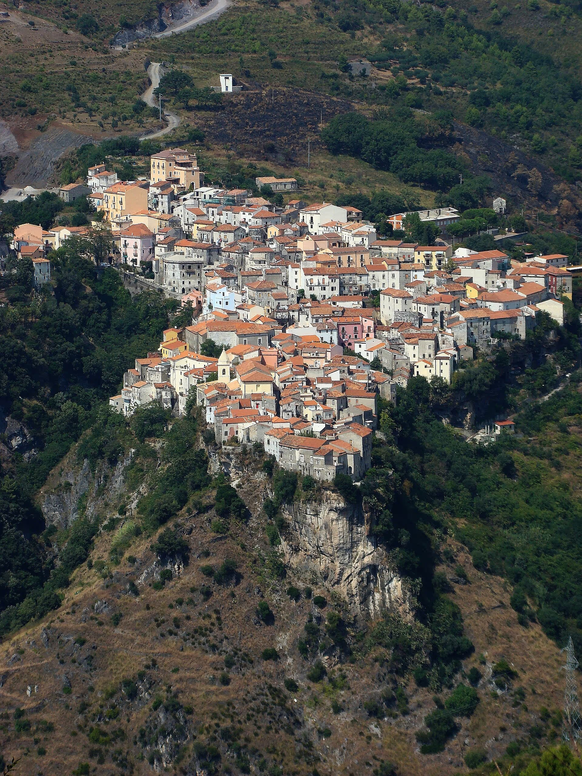
The Pollino’s “city of the eagle”: at 524 metres, one of the Borghi più belli d’Italia, Aieta keeps the Renaissance Palazzo Martirano-Spinelli, sixteenth-century churches, the Valle dei Mulini and, on Monte Calimaro, the remains of Aieta Vetere, a few kilometres from the sea at Praia.
-
Praia a Mare
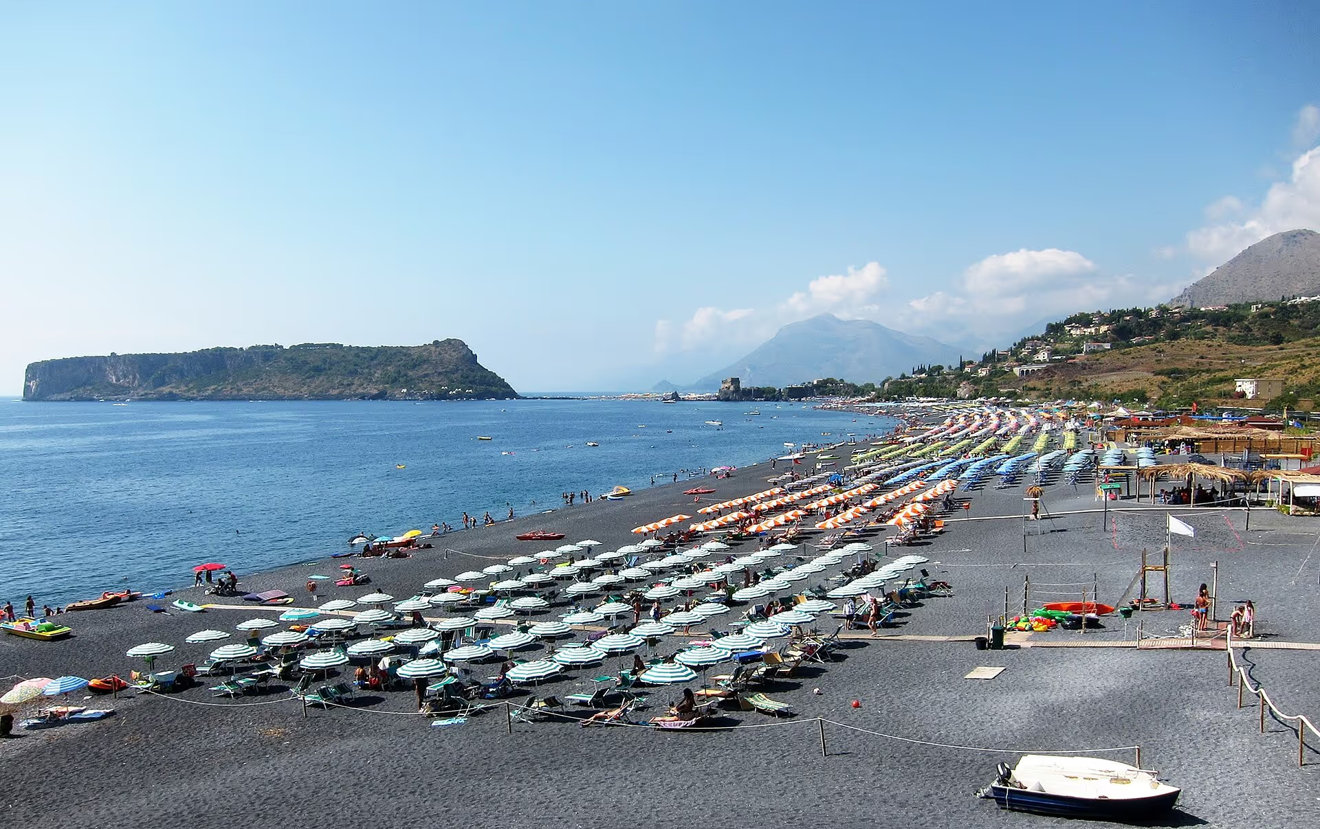
The beach town of the Upper Tyrrhenian Cosentino coast on the Basilicata border: the island of Dino with its sea caves, the rock sanctuary of the Madonna della Grotta and the towers that once watched over the shore.
-
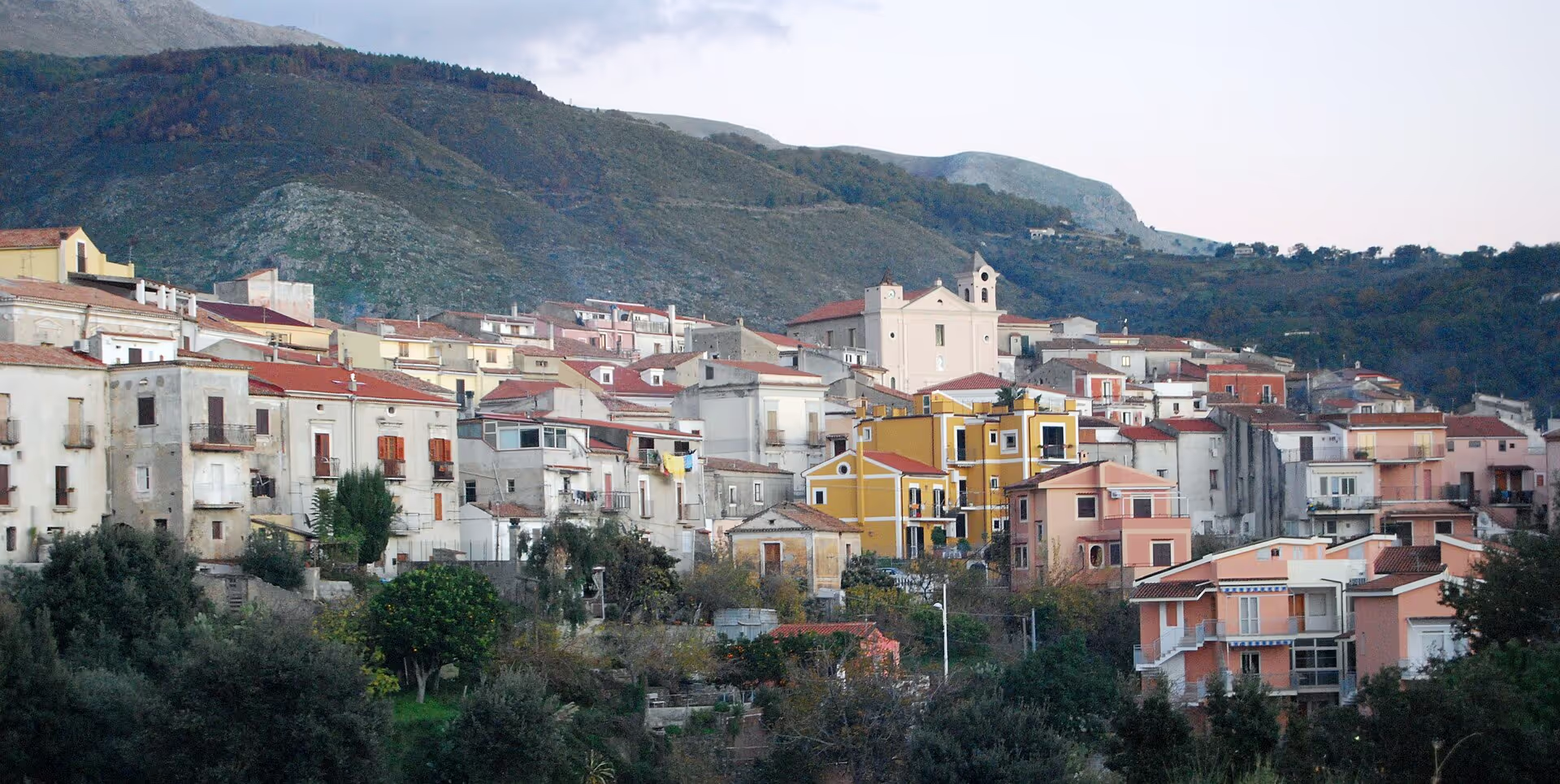
San Nicola Arcella
The cliff-top village of the Riviera dei Cedri: three bays in three kilometres, the rock arch of the Arcomagno, the Crawford Tower and a belvedere that takes in three regions.
-
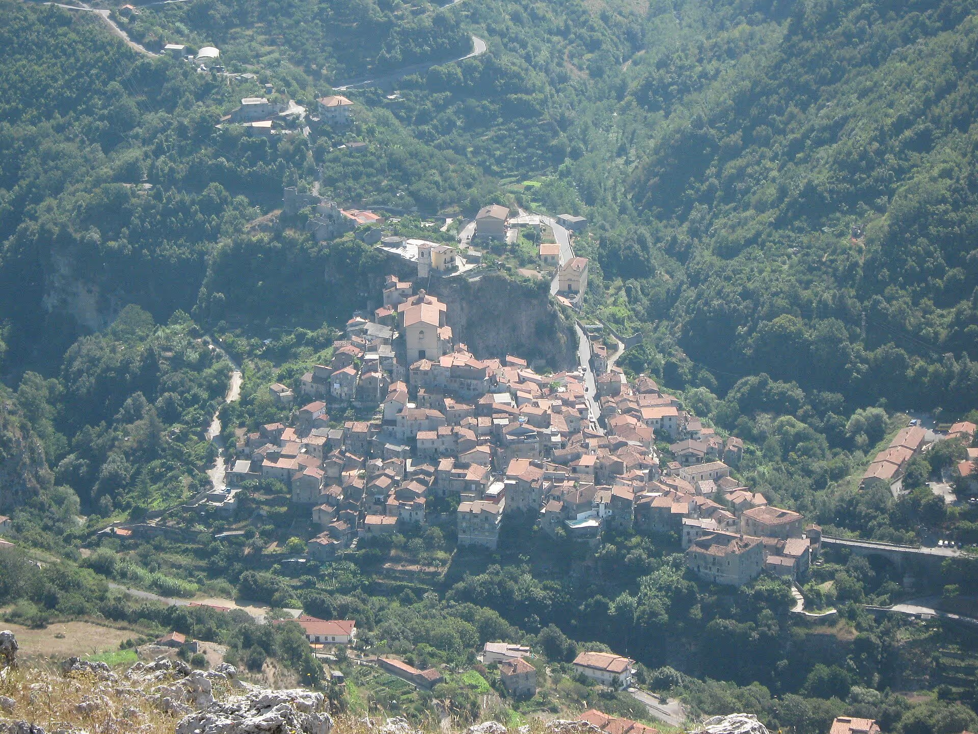
Papasidero
The Pollino village where the Upper Tyrrhenian Cosentino coast meets prehistory: the Grotta del Romito with the great aurochs engraved between 14,000 and 12,000 years ago, fifteen kilometres of the Lao river gorge inside a nature reserve and a medieval village with a Norman-Swabian castle and the gate of the changing of the Guard.
-
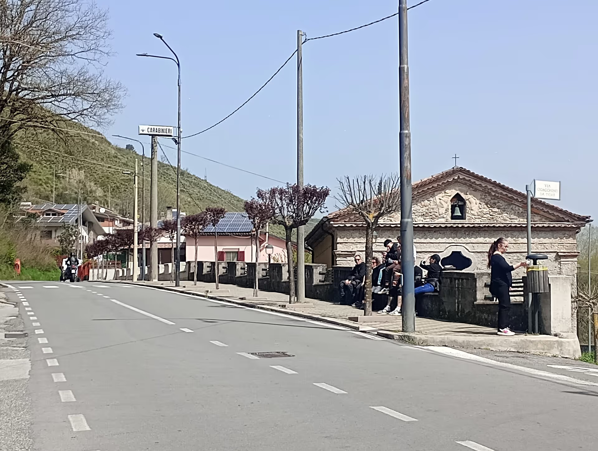
Laino Borgo
Calabria’s gateway to the Pollino, where the Lucanian Mercure becomes the Lao: Laino Borgo brings together the sixteenth-century chapels of the Sanctuary of the Madonna dello Spasimo, the Good Friday Giudaica, the memory of Blessed Pietro Paolo Navarro and the river gorges, for rafting and canyoning.
Itineraries through here
-
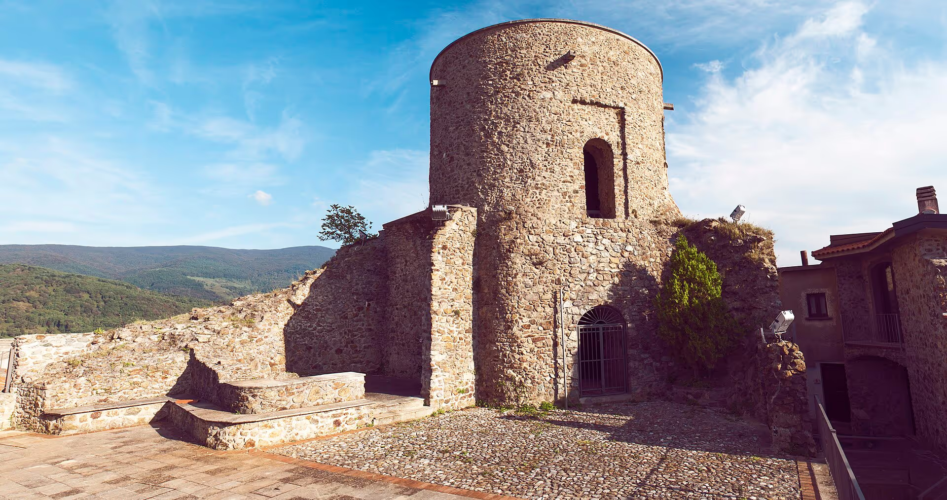 3 daysTowns & history
Towns & history
Three days among old towns, castles and the only Occitan language island in southern Italy.
6 stops5 townsAll year roundSee the stops - 2 daysTowns & history
Weekend in the old towns
Two days among museum, stone village and murals: history and art without a devotional focus.
4 stops3 townsAll year roundSee the stops - 4 daysTowns & history
Four days among old towns
Four days among castles, Norman towns, sacred art and the Occitan language island.
8 stops5 townsAll year roundSee the stops
Where to stay
- Hotel BrutiumHotel · Tortora
- Hotel HarmonyHotel · Tortora
- Hotel La LoggiaHotel · Tortora
- Hotel NapoleoneHotel · Tortora
- Hotel Senator MediterraneoHotel · Tortora
- Residence La PinetaHotel · Tortora
- Villa Mamma RitaHotel · Tortora
Indicative information from OpenStreetMap. Check availability and reviews on the external platforms.
Where to eat
- Bar 2000Café · Tortora
- Bar AlexBar · Tortora
- Bar da BiagioCafé · Tortora
- Bar Gran CaffèCafé · Tortora
- Bar Lo SqualoBar · Tortora
- Green BarCafé · Tortora
- Il SombreroRestaurant · Tortora
- Made in Sud 2Fast food · Tortora
- On the roadRestaurant · Tortora
- Pizzeria Borislav UkRestaurant · Tortora
- Ristorante al CaminettoRestaurant · Tortora
- Ristorante Il Grimorio del gustoRestaurant · Tortora
- Ristorante Pizzeria Più che uno sfizioRestaurant · Tortora
Indicative information from OpenStreetMap. Check availability and reviews on the external platforms.
Do you run a local business?
Update the listing or discover how to give your business more visibility.
Join the guide for freeHow to get to Tortora
- Reference railway station
- Praja-Ajeta-Tortora
- about 5 km as the crow flies from the centre
- Train times (Trenitalia) ↗ Guide: by train
- Nearest airport
- Lamezia Terme International Airport (SUF)
- about 121 km as the crow flies from the centre
- Airport website ↗ Guide: by plane
- By car: A2 “del Mediterraneo” motorway
-
From the north · A2 Lagonegro north SS585 Fondo Valle del Noce → SS18 Tyrrhenian coastal road heading south
From the south · A2 Falerna SS18 Tyrrhenian coastal road heading north along the coast
- Driving directions (Google Maps) ↗ Guide: by car
Straight-line distances computed from verified coordinates: the road route is longer. Check times and connections on the operators’ websites.
Frequently asked questions
- At the northern end of the Calabrian Tyrrhenian coast, in the province of Cosenza: it is the northernmost town on the shoreline, on the border with Basilicata marked by the Noce river, between Maratea and Praia a Mare, with much of its territory in the Pollino National Park.
- The Museum of Blanda in the old town, the archaeological site of Blanda on the Palècastro hill and at San Brancato, the village with its stone portals and the churches of San Pietro Apostolo and the Annunziata, the Marina on the Gulf of Policastro and the mountain hamlets of the Pollino.
- A city founded by the Oenotrians in the 6th century BC on the Palècastro hill, fortified by the Lucanians in the 4th century, taken by the Romans in 214 BC and reborn as the municipium Blanda Julia; it was a bishop’s see until the early Middle Ages and its refugees founded Tortora.
- About 150,000 years: the open-air Palaeolithic site of Rosaneto, with a thousand stone tools, is among the oldest in Italy; at Torre Nave tools of Neanderthal man and of Homo sapiens have been found.
- From the Latin turtur, the turtle dove: the medieval village, born as Julitta from the refugees of Blanda, took the name of the bird that filled the nearby woods; the dove appears on the municipal coat of arms.
- Yes: on 3 September 1860, on his way up to Naples, he stopped in Tortora with generals Bertani, Bixio, Cosenz and Medici, a guest of the Lo Monaco Melazzi family.
- In three settings: the hilltop old town (about 600 inhabitants), the mountain hamlets in the Pollino and Tortora Marina on the Gulf of Policastro, home to about 4,900 people and seat of the town hall since the 1980s.
- The reference station is Praja-Ajeta-Tortora, on the Tyrrhenian railway line, about 5 km as the crow flies from the centre of Tortora. Times and connections on the Trenitalia website.
- The nearest airport is Lamezia Terme International Airport (SUF), about 121 km as the crow flies; from there you continue by train from Lamezia Terme Centrale along the Tyrrhenian line, or by car on the A2 motorway.
Where is Tortora?
What to see in Tortora?
What was Blanda?
How ancient is human presence in Tortora?
Why is Tortora called that?
Did Garibaldi pass through Tortora?
How is the municipality of Tortora organised?
Which is the nearest railway station to Tortora?
Which is the nearest airport to Tortora?
Discover locally
Live, up-to-date results with real reviews, on external platforms. We don’t hand-pick individual businesses we can’t verify.