 Nature
Upper Tyrrhenian Cosentino · Riviera dei Cedri
Monte Pistuolo and the heights of Acquappesa
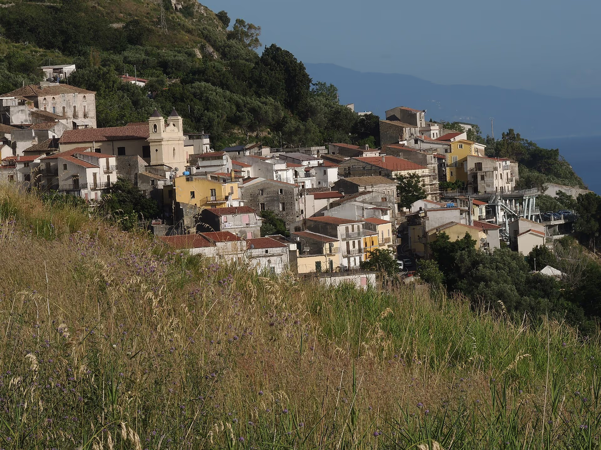
From the sea to 972 metres in a few kilometres: Monte Pistuolo, the administrative exclave of Pistuolo e Spaliota, Cozzo Moleo, Cozzo del Greco, the Rupe del Diavolo and 7 km² of woodland.
Acquappesa is a small municipality, 17.75 km², but a steep one: from its 6 kilometres of coast the territory climbs to the 972 metres of Monte Pistuolo, the highest peak, which also names the administrative exclave of Pistuolo e Spaliota, a portion of municipal land detached from the rest. Between the coast and the summit you find Quercia Rotonda (302 m), the Rupe del Diavolo (301 m), the Balze della Mortilla (364 m), Cozzo del Greco (626 m) and Cozzo Moleo (675 m). Woods cover about 7 km², roughly two fifths of the municipal area. From these heights the Bagni river, which marks the southern boundary, and the Fiumicello stream on the northern boundary, the Acqua fetida, Morgione and Sorbo run down to the Tyrrhenian. Inland the town borders Fagnano Castello and Mongrassano. It is the mountain side of a town whose name, “hanging water”, recalls a waterfall.
Frequently asked questions
- 972 metres: it is the highest peak in Acquappesa and names the administrative exclave of Pistuolo e Spaliota.
- Quercia Rotonda, Rupe del Diavolo, Balze della Mortilla, Cozzo del Greco, Cozzo Moleo and Monte Pistuolo, between 301 and 972 metres.
How high is Monte Pistuolo?
What are the heights of Acquappesa?
More places in Acquappesa
Itineraries through here
- 2 daysWellness & spa
Wellness & spa
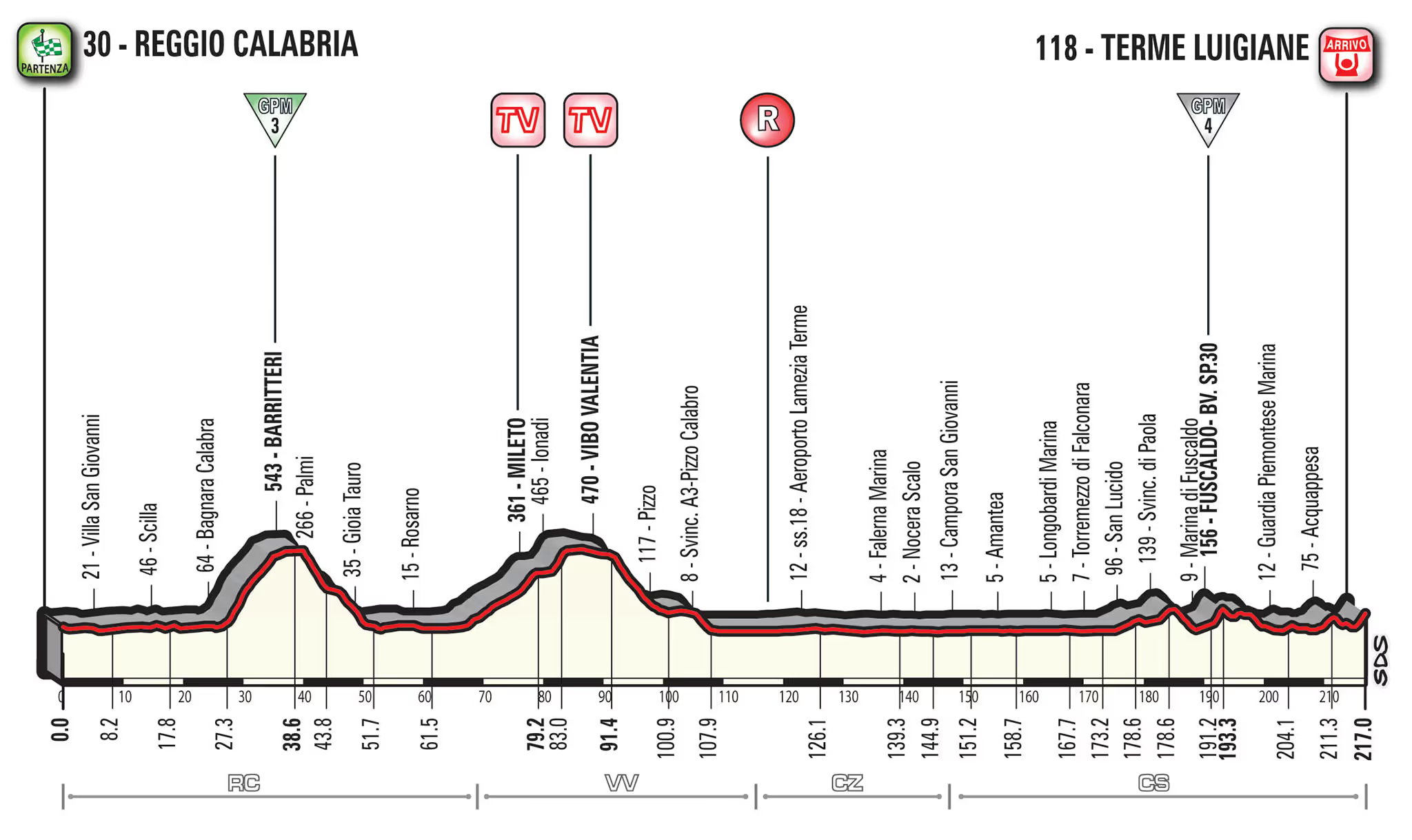
Two days among thermal waters, marina and towns of the Middle Tyrrhenian Cosentino area.
4 stops4 townsAll year roundSee the stops -
 3 daysWellness & spa
Nature and Pollino in three days
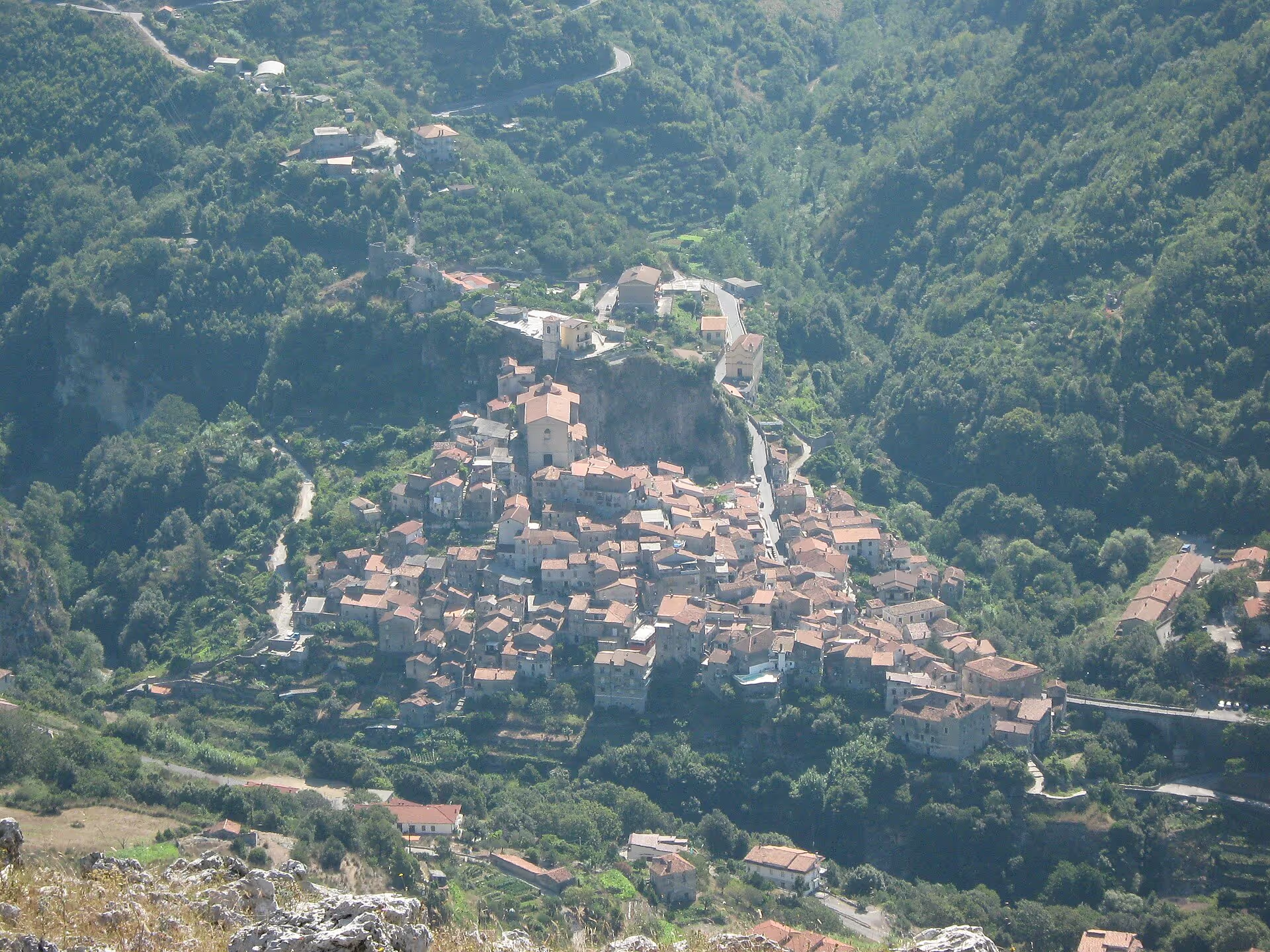
Three days among spa, Palaeolithic cave and mountains of the Pollino National Park.
6 stops4 townsMarch–NovemberSee the stops -
 4 daysWellness & spa
Nature and Pollino in four days
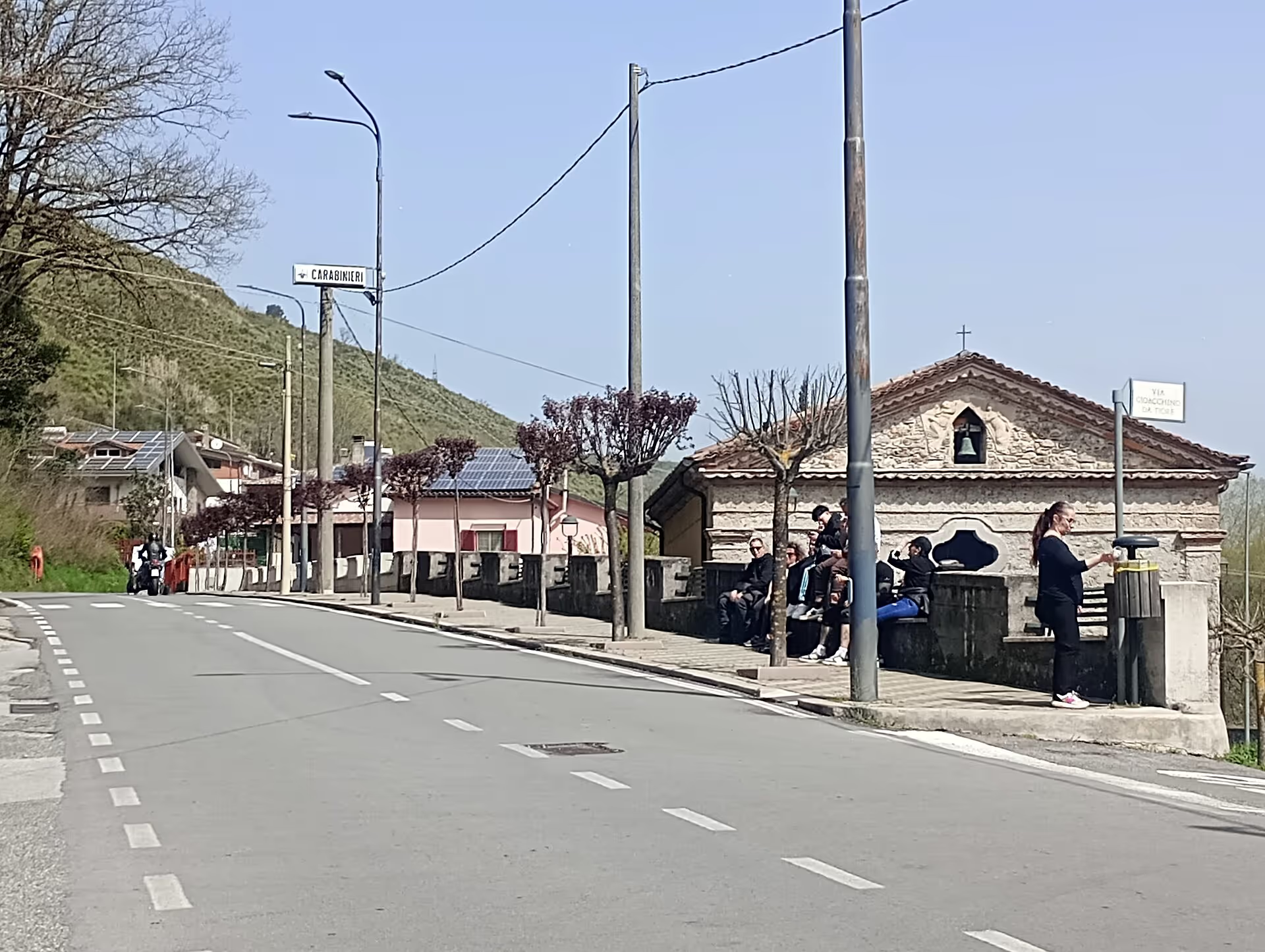
Four days among spa, cave, mountains and river in the Pollino National Park.
8 stops5 townsMarch–NovemberSee the stops