 Beach
BeachUpper Tyrrhenian Cosentino · Riviera dei Cedri
Cittadella del Capo
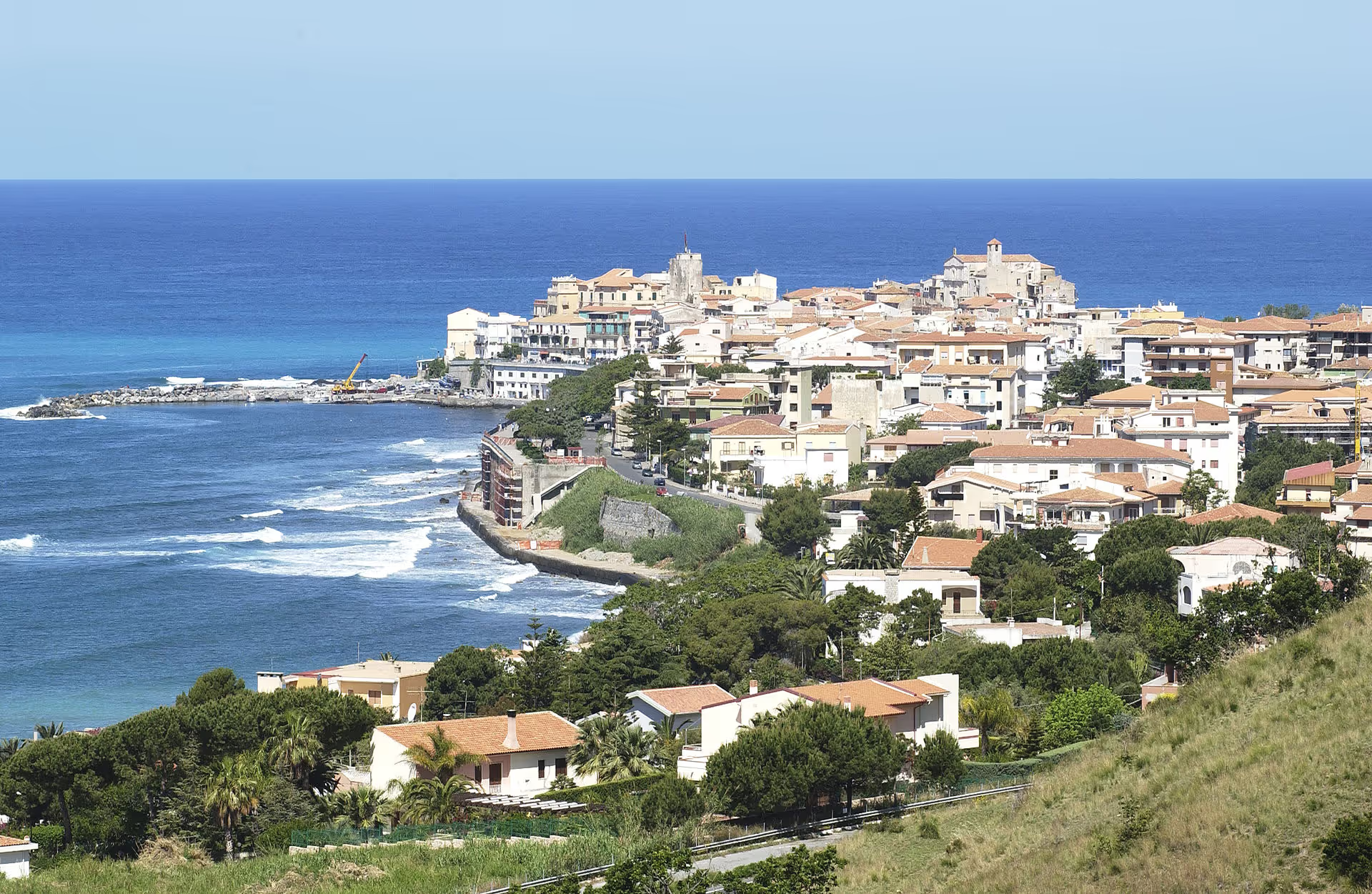
Bonifati’s coastal hamlet 23 metres above the sea, ancient Fella: Capo Bonifati station, the districts of Paneduro, Santa Maria and Telegrafo and the Capo and Fella towers.
Cittadella del Capo (in Latin Civitatula Capitis) is Bonifati’s coastal hamlet: it lies 23 metres above the sea, apart from the hilltop village, and stretches along the shore beside the SS18 state road, also taking in the districts of Paneduro (Bonifati Lido), Santa Maria and Telegrafo. The place is identified with Fella (Φήλλα), a Greek colony that lived for centuries from farming and fishing and was taken in the 16th century by the Turks of Barbarossa. In recent decades Cittadella has grown with seaside tourism and become the town’s summer destination. The Capo and Fella echo in the names of the Torre del Capo, dated to the 12th century, the Palazzo del Capo and the 16th-century Torre di Fella; the destroyed Torre del Telegrafo left its name to the district. The hamlet’s churches are the parish church of San Francesco di Paola, consecrated in 1973, where the votive feast of the patron of seafarers is celebrated on the third Sunday of August, and that of San Michele Arcangelo, from 1924. Here stands Capo Bonifati station, on the Tyrrhenian line.
Frequently asked questions
- The hamlet is identified with Fella, a Greek colony devoted to farming and fishing, taken in the 16th century by the Turks of Barbarossa.
- Capo Bonifati, on the Tyrrhenian railway; the SS18 runs through the hamlet.
Was Cittadella del Capo ancient Fella?
Which is Cittadella del Capo’s station?
More places in Bonifati
-
 Old town
 Old town of Bonifati
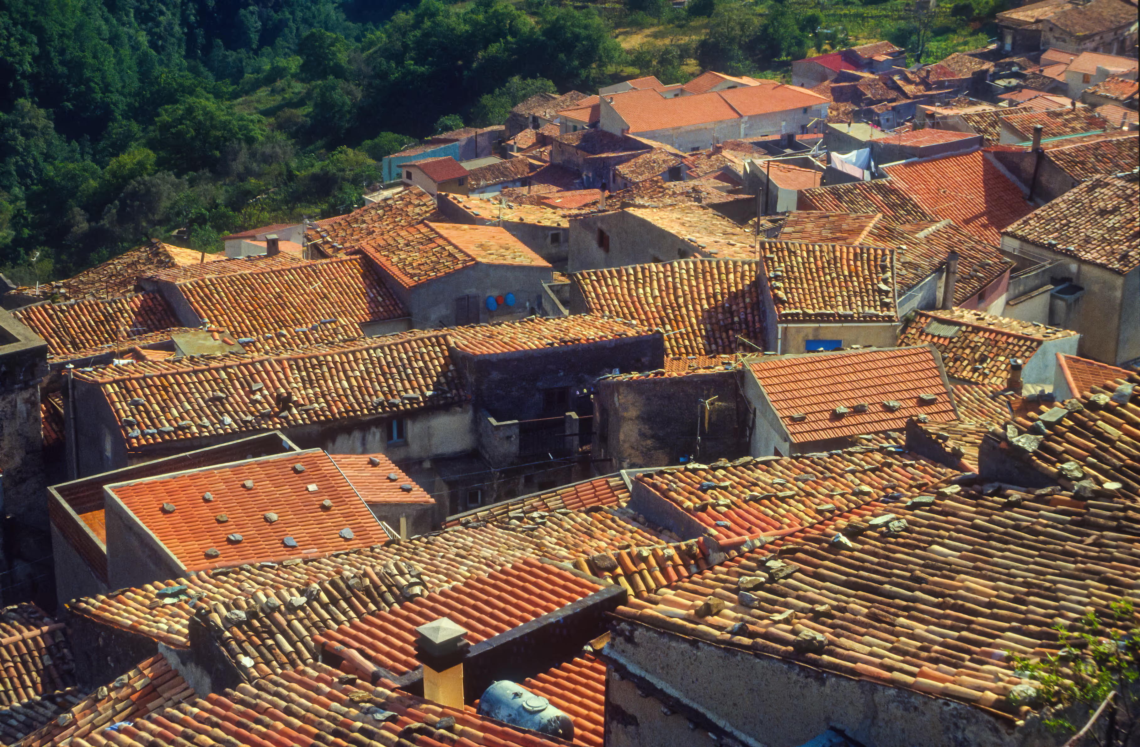
The village 425 metres up between two cross-topped hills: the ruins of Castel Bonifati, the Rosary sanctuary, the Convent of San Francesco di Paola, the Calvario, the Annunziata and the noble palazzi.
- Culture
Towers of Bonifati
Five centuries of towers in Bonifati: the Torre del Capo (12th century), the Torre Parise (15th), the Torre di Fella and the Torre di Porta Malvitana (16th) and the vanished Torre del Telegrafo, which named a district of Cittadella del Capo.
Itineraries through here
-
 2 daysSea & beaches
Sea & beaches
Two days among rock arches, islands and lidos of the Cosentino Tyrrhenian coast.
4 stops4 townsJune–SeptemberSee the stops -
 3 daysSea & beaches
Three days by the sea
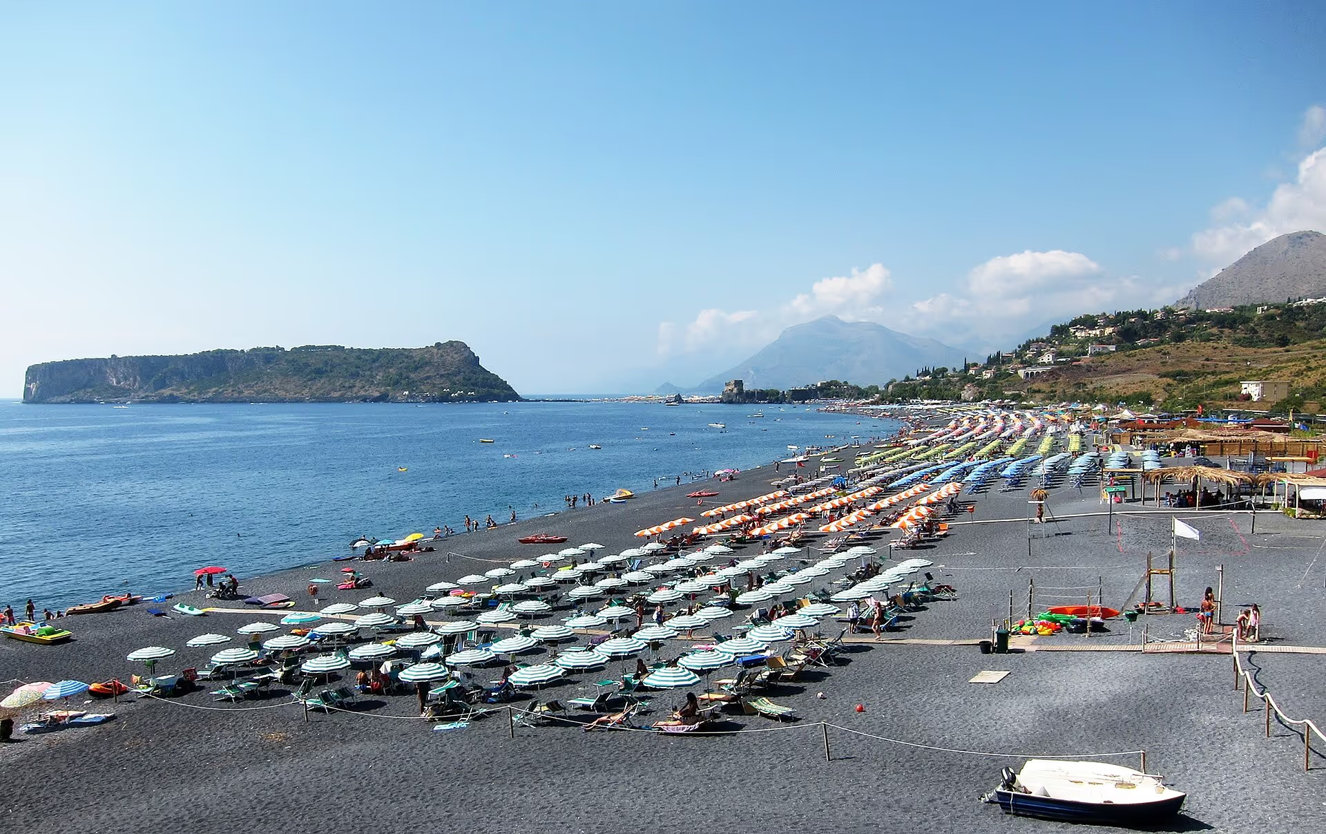
Three days along the Tyrrhenian coast: islands, rock arches and beaches from north to south.
6 stops5 townsJune–SeptemberSee the stops -
 4 daysSea & beaches
Four days on the Tyrrhenian coast
Four days devoted to the sea, from San Nicola Arcella to Cetraro: arches, islands, beaches and marina.
8 stops6 townsJune–SeptemberSee the stops