 Beach
BeachUpper Tyrrhenian Cosentino · Riviera dei Cedri
Tortora Marina and the Gulf of Policastro
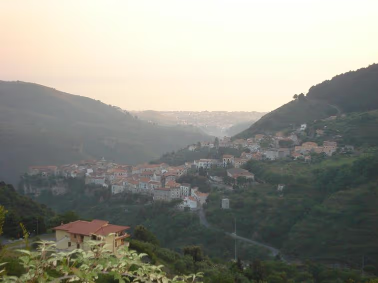
The plain on the Gulf of Policastro where most of Tortora’s people live: beaches, ten districts joined in one settlement, the Palaeolithic site of Rosaneto and the Torre Nave cliff.
Tortora Marina occupies the plain facing the Gulf of Policastro, the last stretch of Calabrian coast before Basilicata. It is a young town: until the late 1970s it was a mosaic of ten districts, Benefici, Crisosa, Cutura, Girone, Impresa, Falconara, Pantani, Pergolo, Poiarelli and Riviera, which the growth of tourism fused into a single settlement of about 4,900 inhabitants; since the mid-1980s the town hall has come down here from the old town. The churches of Santo Stefano, the Madonna delle Grazie and Stella Maris mark its squares, and the districts of Castiglione, San Brancato, Santo Stefano and Sicilione complete the shoreline. The climate is that of the sea: mild winters and very hot summers.
It is also the oldest part of Tortora. At Rosaneto an open-air Lower Palaeolithic site, dated to about 150,000 years ago, has yielded a thousand stone tools, including 140 choppers and 67 handaxes: one of the oldest prehistoric sites in Italy. At the foot of the limestone cliff of Torre Nave, which also holds two caves listed in the regional register, the digs found in the lower layers the tools of Neanderthal man and in the upper ones those of Homo sapiens. In the 16th and 17th centuries silkworms were raised and sugar cane grown on this plain. Praja-Ajeta-Tortora railway station is about 2 km away.
Frequently asked questions
- An open-air Lower Palaeolithic prehistoric site at Tortora Marina, dated to about 150,000 years ago: with a thousand stone tools it is among the oldest prehistoric sites in Italy.
- Praja-Ajeta-Tortora, on the Tyrrhenian line, in Praia a Mare, about 2 km away.
What is the Rosaneto site?
Which is the nearest station to Tortora Marina?
More places in Tortora
- Culture
Blanda: the Palècastro and San Brancato
The hill where the Oenotrian, Lucanian and Roman city of Blanda Julia rose, with its walls, forum, three small temples and the San Brancato necropolis: the site identified in 1891 and excavated from 1990.
- Old town
Old town of Tortora
The village of Julitta on its rocky spur: the stone portals of the palaces, the mother church of San Pietro Apostolo, the Annunziata and the memory of the Basilian monks and of Garibaldi.
-
 Culture
 Museum of Blanda
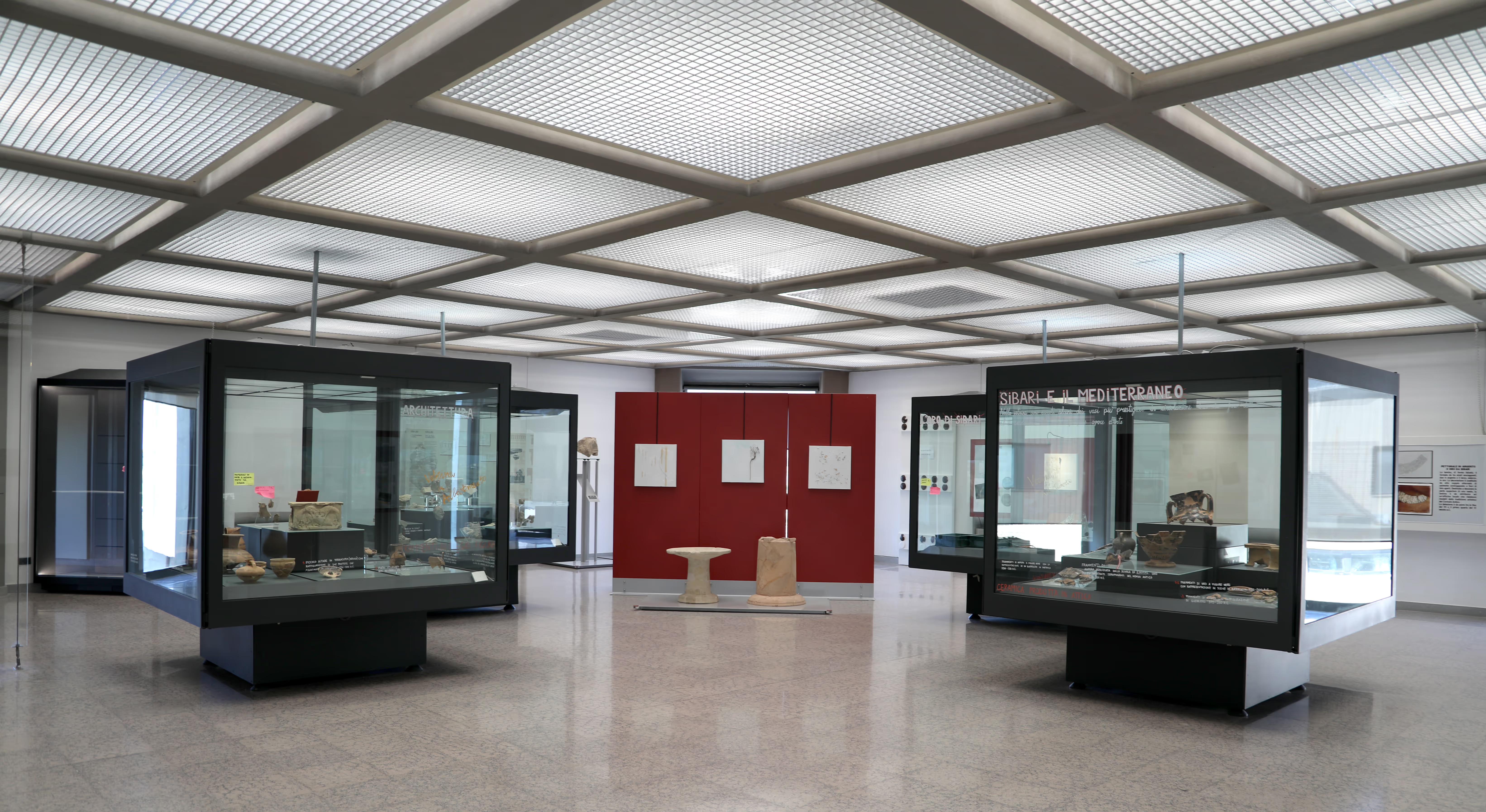
The old-town museum that tells of ancient settlement south of the Noce: the Oenotrian and Lucanian grave goods of San Brancato and the finds from Roman Blanda on the Palècastro.
Itineraries through here
-
 3 daysTowns & history
Towns & history
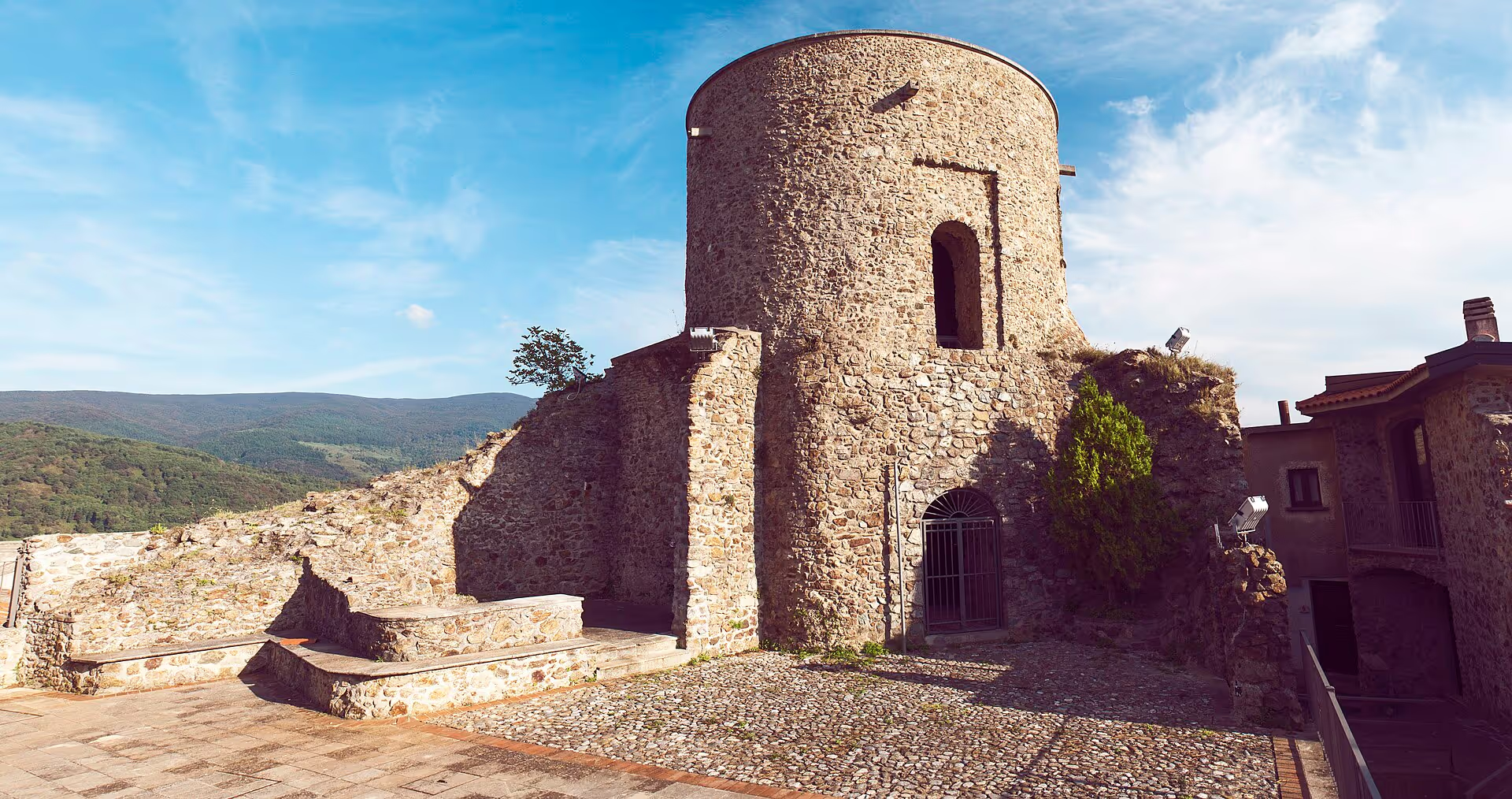
Three days among old towns, castles and the only Occitan language island in southern Italy.
6 stops5 townsAll year roundSee the stops - 2 daysTowns & history
Weekend in the old towns
Two days among museum, stone village and murals: history and art without a devotional focus.
4 stops3 townsAll year roundSee the stops -
 4 daysTowns & history
Four days among old towns
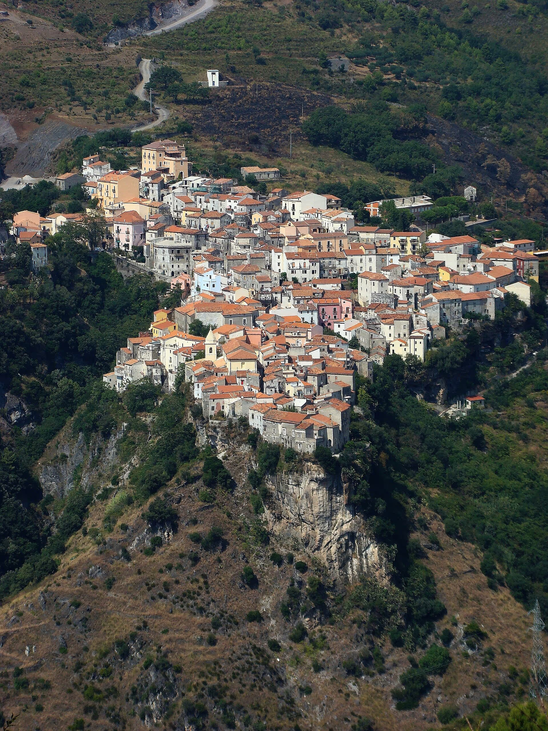
Four days among castles, Norman towns, sacred art and the Occitan language island.
8 stops5 townsAll year roundSee the stops